
文章和部落格

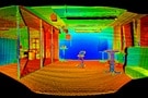
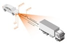
 以先進的 IMU 和感測器融合,提高自主機器人定位精密度
發佈日期:2025-10-01
以先進的 IMU 和感測器融合,提高自主機器人定位精密度
發佈日期:2025-10-01
結合先進的 IMU 和其他類型的感測器,以感測器融合,在高挑戰性環境中進行精準的自主移動機器人 (AMR) 導航。
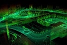
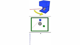 What is LiDAR-Light Detection And Ranging?
Learn how LiDAR technology is used to measure distances with precision, and discover its applications in fields like autonomous vehicles and mapping.
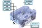
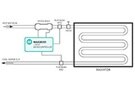
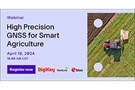
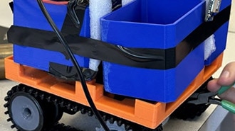 Robot Beehive Mover
Learn how a team of engineering students designed and built a robot beehive mover, complete with GPS, Bluetooth, and PCB design using OrCAD.
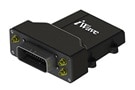
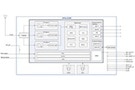
 Wi-Fi® 定位元件能克服 GNSS、蜂巢網路在定位應用上的限制
發佈日期:2024-08-07
Wi-Fi® 定位元件能克服 GNSS、蜂巢網路在定位應用上的限制
發佈日期:2024-08-07
高能效的 Wi-Fi® 輔助 IC 可以利用高準確度的地理定位,克服 GNSS 和蜂巢裝置的效能限制。
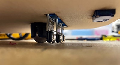 Basic Motion Sensors: Ultrasonic and IR
Ultrasonic or IR? Learn the strengths and weaknesses of these sensors, from detection range to cost. Make an informed decision for your next endeavor.